The alluvial terraces of the Stanislaus River and Tuolumne River define Modesto's subsurface profile: interbedded sands, silts, and clays with occasional gravel lenses. Groundwater typically sits between 10 and 25 feet, though seasonal fluctuations can push it higher near the river corridors. For any project here — a warehouse on Carpenter Road or a residential slab in the La Loma district — the first step is reliable soil classification. We follow ASTM D2487 (USCS) and AASHTO M 145 to group soils by grain size and plasticity. Knowing whether you are dealing with a well-graded sand (SW) or a lean clay (CL) directly affects bearing capacity estimates and compaction specs. Our work begins with field sampling and visual description per ASTM D2488, then laboratory sieving and Atterberg limits to assign the final classification. Before moving to foundation design, we often combine the classification with a georradar-gpr survey to map lateral variability across the site.
A single USCS symbol like CH or SM tells the foundation engineer more about settlement risk than five pages of raw sieve data.
Methodology and scope
Modesto sits at an elevation of 89 feet above sea level, but its soils tell a story of ancient floodplains. The typical profile shows a surface layer of silt loam (ML) underlain by fat clays (CH) or sandy silts (ML) depending on proximity to the Dry Creek channel. In our experience, the USCS system is the most practical for local geotechnical design: it captures gradation and plasticity in a single symbol. The AASHTO system, on the other hand, is preferred by Caltrans and city public works for pavement subgrade evaluation. We run both classifications on every sample, then cross-reference the results. For example, a soil classified as SC (clayey sand) under USCS may fall into A-2-6 under AASHTO, which tells the pavement engineer something different than the foundation designer. This dual approach avoids costly misinterpretations. When the soil contains organic matter or shows collapsible tendencies, we flag it immediately and recommend additional suelos-colapsibles testing to assess volume change risk.
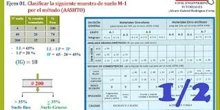
Technical reference image — Modesto
Local considerations
What we see most often in Modesto is a project that orders a soil classification but skips the field verification. A bore log might show CL at one location, but 50 feet away the clay turns to SM with sand seams. Relying on a single classification point leads to differential settlement or compaction failures. The risk is especially high in areas like the airport district or near the Tuolumne River where soil types change within meters. We always recommend at least three classification samples per parcel, plus a continuous ensayo-spt to correlate blow counts with the USCS group. That way the design team gets a spatial picture, not just a lab number.
Complete USCS Classification with Atterberg Limits
Grain size analysis by sieving and hydrometer, liquid limit and plastic limit determination, and assignment of group symbol and group name per ASTM D2487. Includes natural moisture content and visual-manual description.
02
AASHTO Pavement Subgrade Classification
Classification per AASHTO M 145 for road and parking lot projects. Includes group index calculation, suitability rating for subgrade, and recommendations for lime or cement stabilization if the soil falls into A-6 or A-7 groups.
03
Field Classification & Soil Logging
On-site visual classification of soil samples during test pits or borings using ASTM D2488. Each stratum is logged with color, plasticity, moisture, and structure. Integrated with borehole logs for geotechnical reports.
Applicable standards
ASTM D2487-17 (Standard Practice for Classification of Soils for Engineering Purposes — USCS), ASTM D3282-15 (Standard Practice for Classification of Soils and Soil-Aggregate Mixtures — AASHTO M 145), ASTM D4318-17 (Standard Test Methods for Liquid Limit, Plastic Limit, and Plasticity Index of Soils), ASTM D6913/D6913M-17 (Particle-Size Distribution of Soils Using Sieve Analysis)
Frequently asked questions
What is the difference between USCS and AASHTO soil classification?
USCS (Unified Soil Classification System) groups soils by grain size and plasticity — for example, CL (lean clay) or SW (well-graded sand). AASHTO classifies soils primarily for pavement subgrade evaluation, using group indices A-1 through A-7. A single soil can have a USCS symbol of SC and an AASHTO group of A-2-6; each system tells you something different about how the soil will behave under load.
How many soil classification samples do I need for a residential lot in Modesto?
For a typical single-family lot (5,000–10,000 sq ft), we recommend at least two test pits or borings with classification samples from each major stratum. If the lot is near the Tuolumne River or in an area with known alluvial variability, three samples per parcel give a more reliable picture.
Can soil classification alone tell me the bearing capacity of the ground?
Not directly. Classification gives you the soil type (e.g., CH, SM, SP), which correlates to typical strength ranges, but bearing capacity requires in-situ or lab tests like the Standard Penetration Test (ASTM D1586) or unconfined compression. Classification is the first step — it tells you what soil you have; bearing capacity tests tell you how strong it is.
What ASTM standards are used for USCS classification?
The primary standards are ASTM D2487 (Standard Practice for Classification of Soils for Engineering Purposes — USCS) and ASTM D2488 (Standard Practice for Description and Identification of Soils — Visual-Manual Procedure). Supporting tests include ASTM D6913 for sieve analysis, ASTM D7928 for hydrometer, and ASTM D4318 for Atterberg limits.
Do you classify soils for Caltrans or city of Modesto projects?
Yes. For public works projects, we run both USCS and AASHTO classifications. Caltrans typically requires AASHTO M 145 with group index for pavement design, while foundation elements follow USCS per ASTM D2487. Our reports include both systems and meet the documentation requirements of Modesto's building department and Caltrans District 10.